
Mason County Amateur Radio Club members help build and support a vibrant community in Mason County in many ways. The Club provides opportunities for those interested in safety, science, service, and support. We welcome all who are interested in amateur radio.
We support emergency services in our community through the Radio Amateur Civil Emergency Service.
The Mason County Amateur Radio Club is affiliated with the Amateur Radio Relay League, the national organization for amateur radio operators in the United States.
Our latest news posts
- Repeater Roundabout on November 22 & 23

- Club Meetings Change in February 2025
- Mason County Amatuer Radio Club Prepping For Weekend Showcase

- Tonight’s massive solar storm could disrupt communications and GPS systems

- SOLD: Kenwood TS-450S AT, price updated!
- Earth-directed CME arrives January 22nd
Amateur radio in Mason County
View our brochure on amateur radio in Mason County:
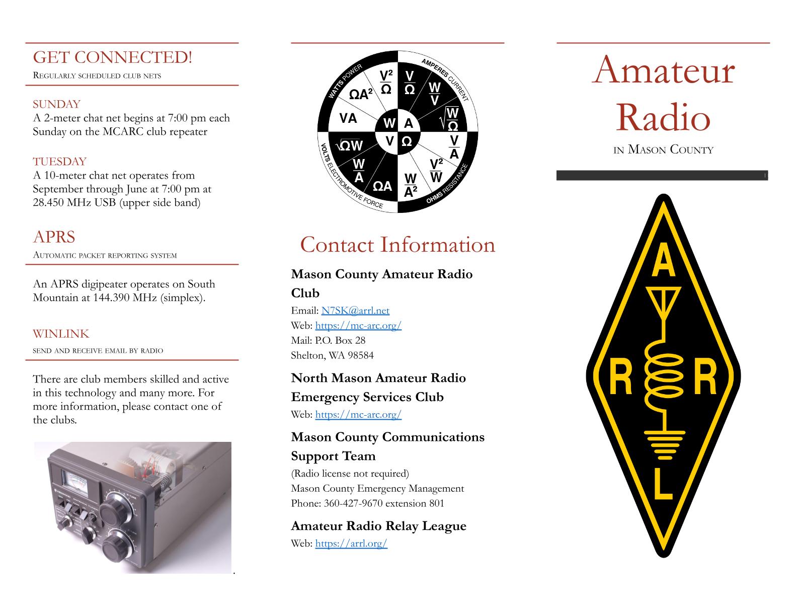
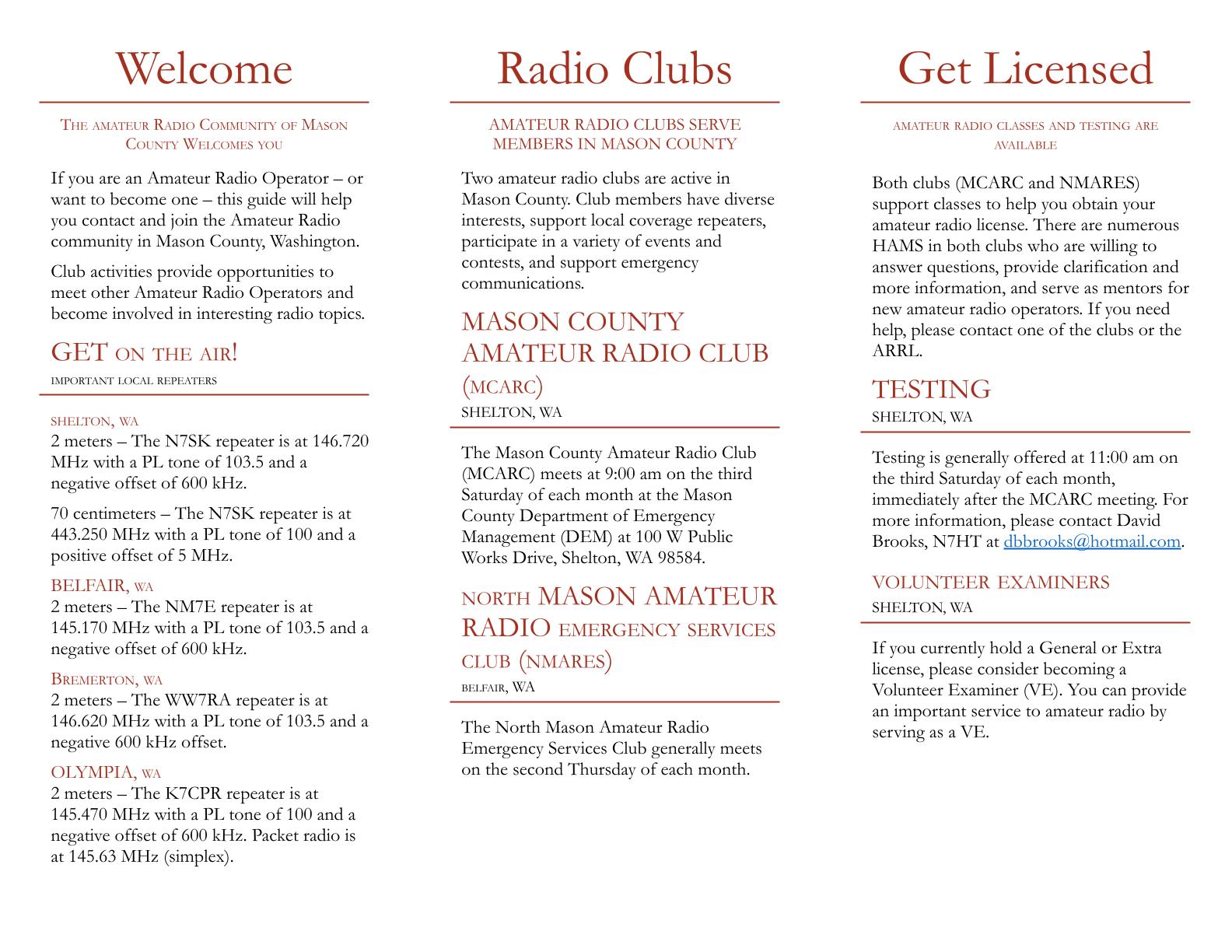
Or download the brochure in PDF format: MCARC Brochure 2026
Affiliations
The Mason County Amateur Radio Club is pleased to support these organizations and services:
- American Red Cross
- National Weather Service Skywarn Program
- Mason County Search and Rescue
- Mason County Sheriff’s Department
- Mason County Emergency Management
- Mason Health: Mason General Hospital and Mason Clinic
- Washington State Department of Natural Resources
- Shelton and Mason County Fire Protection Districts
Attend our next meeting, or join today!
